Hike Mount Barney - Queensland's Iconic Peak


Mount Barney hike is Home to some of the last surviving Gondwana rainforests in the country, the mountain's proximity to Brisbane makes it the perfect destination for bushwalkers
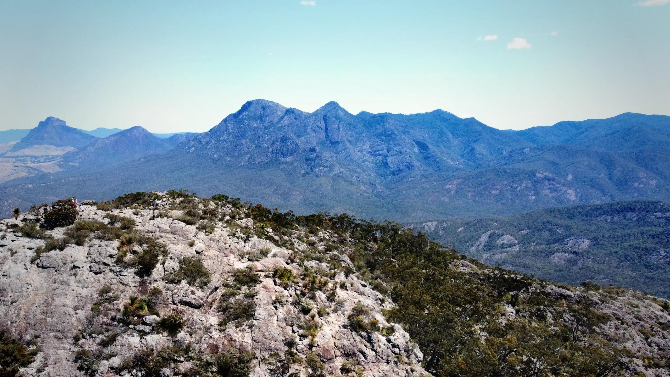
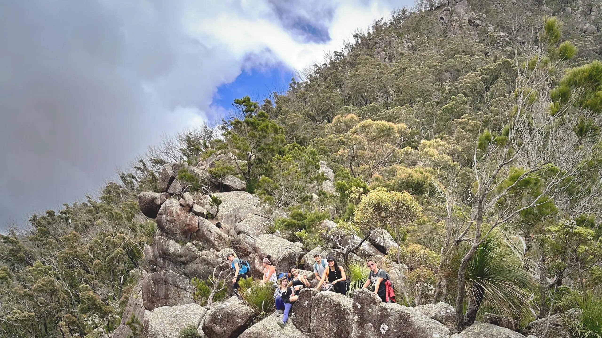
Nestled in the heart of Queensland's Scenic Rim, Mount Barney stands as a towering testament to the beauty and challenge of nature. Rising 1,351 meters above sea level, this iconic peak offers panoramic views of the surrounding World Heritage-listed landscapes, including remnants of ancient Gondwanan rainforest. Known as one of Queensland's most demanding hikes, Mount Barney is not for the faint-hearted. With steep ascents, rock scrambling, and exposed ridges, it demands both physical endurance and navigational expertise
Breathtaking summit vistas, pristine wilderness, and a profound sense of accomplishment in this hike
Trail Talk: A Breakdown of the Hike
Wild life
Keep your eyes peeled for diverse wildlife
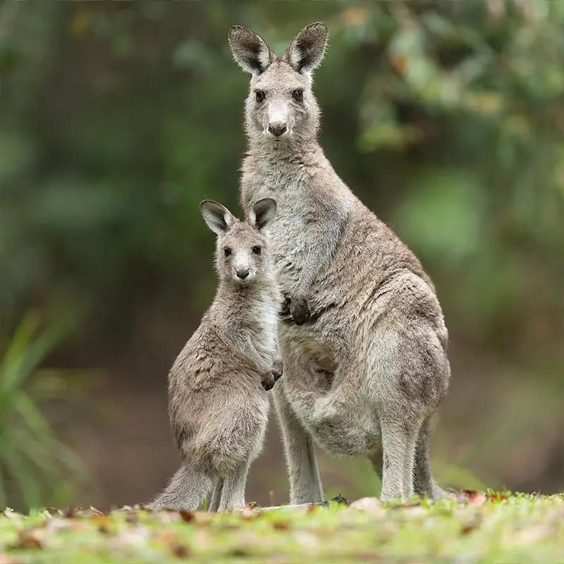
Eastern grey kangaroo
The eastern grey kangaroo (Macropus giganteus) is a large marsupial found in eastern Australia. Despite its scientific name, it's smaller than the red kangaroo, with males weighing up to 69 kg.
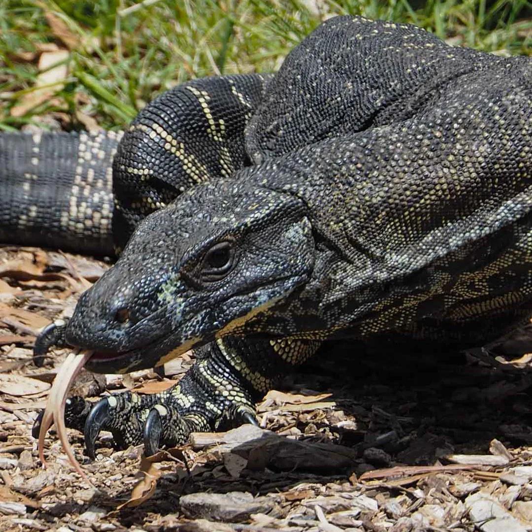
Lace Monitor
Also known as the tree goanna
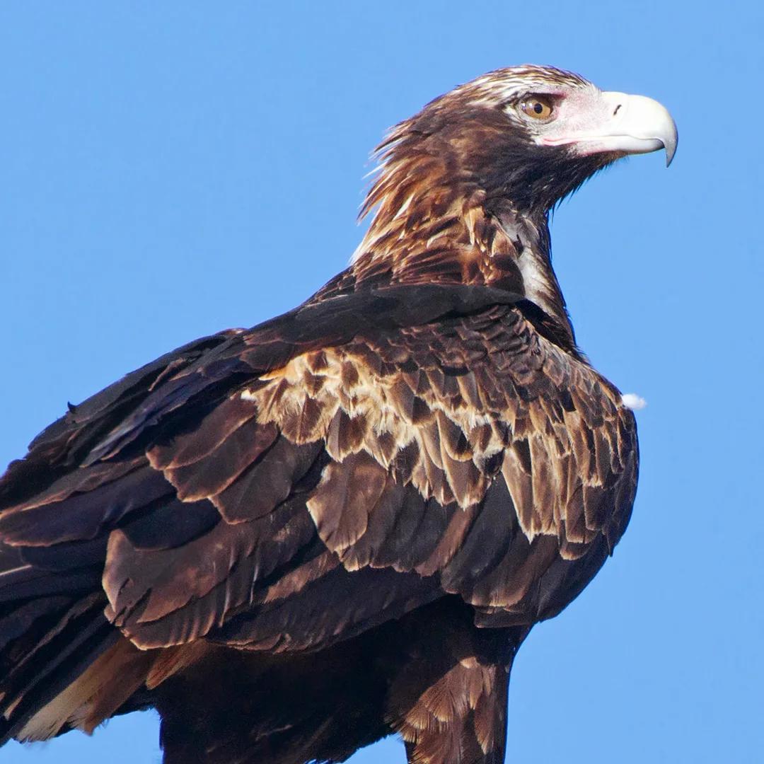
Wedge-tailed eagle
Commonly found in Mount Barney National Park
Comparison with famous Queensland's most challengin summits

Comparison of various mountains in Queensland including height, distance, length and elevation gain.
🦘 Pro Tip:
Adapt your checklist based on the season, location, and your personal preferences. It's essential to have the basics and then add items that enhance your comfort and enjoyment.
From parking to summit
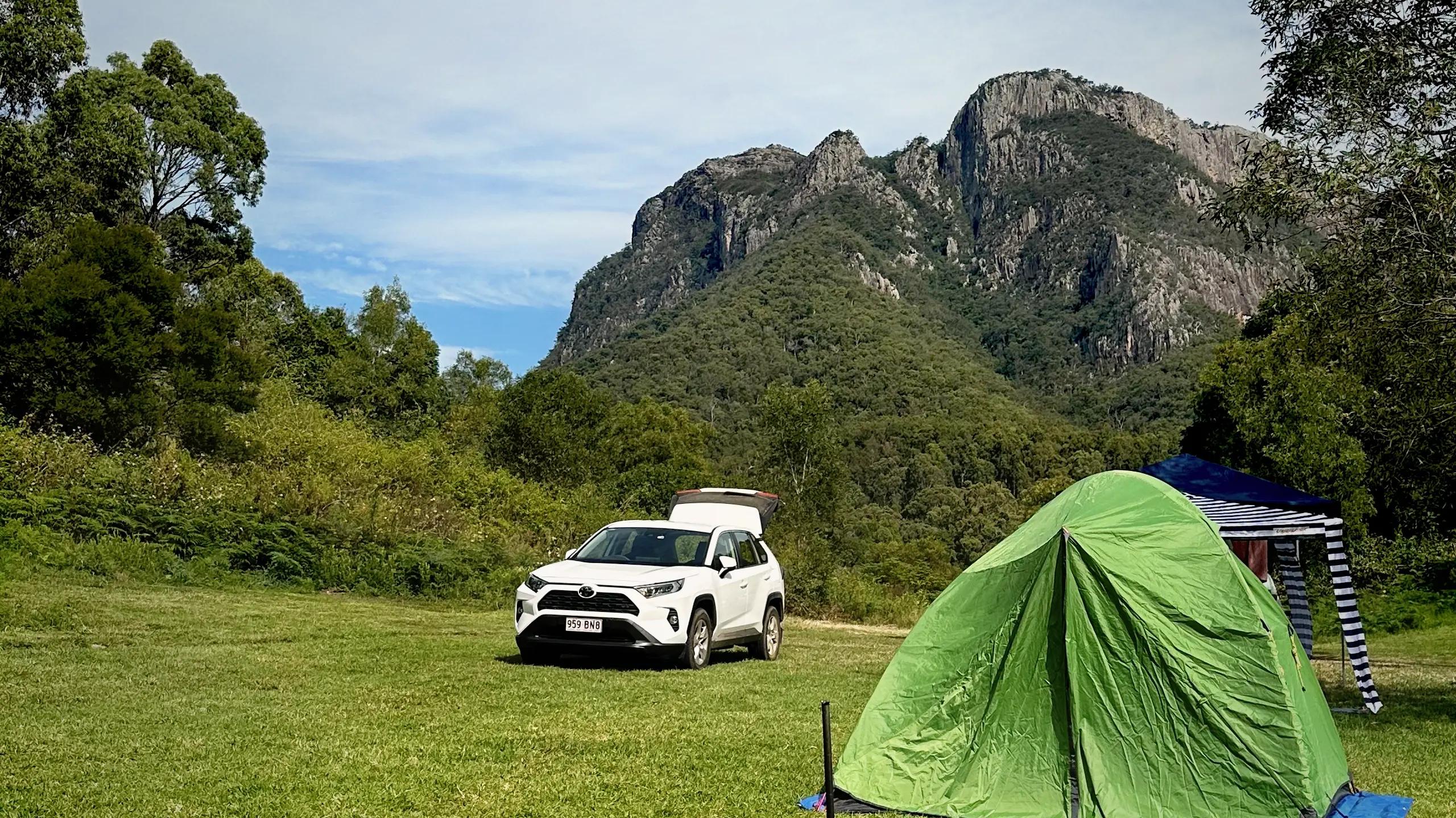
Your destination for parking is the Yellow Pinch Reserve, which is the starting point for the hike.Arriving early is not only an excellent strategy to secure parking but also to relish the hike while enjoying the sunrise views. It's recommended to carpool or travel in groups to minimise the number of vehicles at the trailhead
Stay nearby
If you want to start your ascent early, consider the nearby Burbank and Forestry bush camps located at the bank of Cronan Creek near the base of Mount Barney. For more comfortable options, Mount Barney Lodge offers a range of accommodations. Nearby options include Flanagan's Reserve and Bigriggen Camping
Difficulty
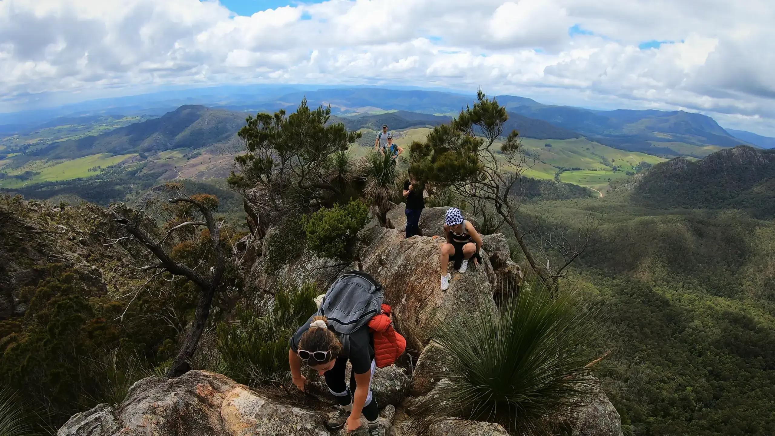
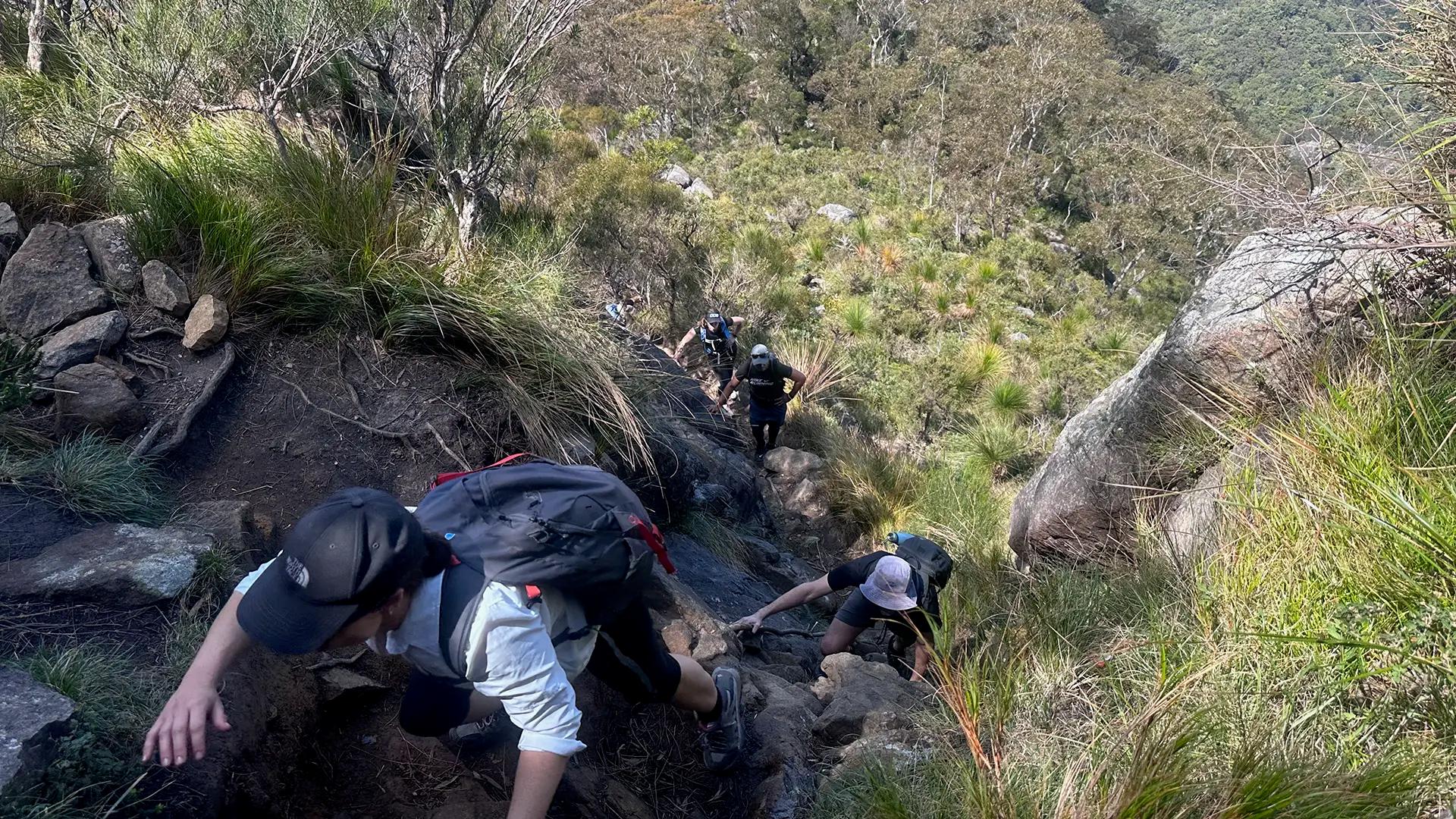
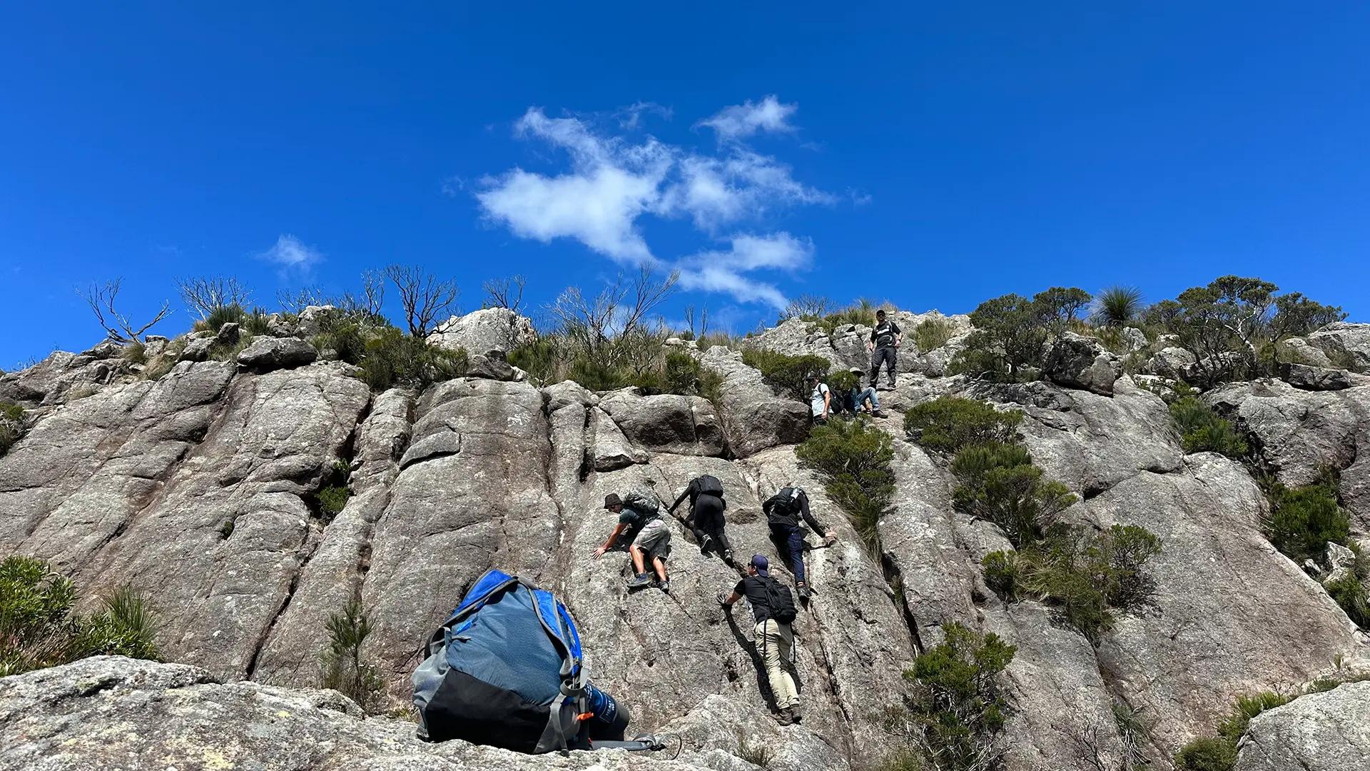
Hiking Mount Barney is not for the faint of heart. The South East Ridge and South (Peasants) Ridge routes are steep, strenuous, and require rock scrambling. Navigational skills, a head for heights, and rock scrambling ability are necessary. The South (Peasants) Ridge is also slippery in places.
Elevation gain and distance are important factors when assessing a hike, especially when considering Mt. Barney. Elevation gain indicates how much you'll climb, and with Mt. Barney's peak standing at 1,354 mts, this mountain involves a significant uphill climb that will test your stamina. The distance, typically around 13- 15 kms round trip, shows the ground you'll need to cover. Also, the steep, rocky terrain will demand additional physical skills including endurance, leg strength, and balance. By understanding and evaluating these aspects, you can be better prepared for this challenging hike.
Tips and Checklists:
Here are some tips and a concise checklist to ensure you're well-prepared for your adventure.
- Plan Ahead: Make a list of what you'll need. Think about the specific characteristics of this hike.
- Early Start:: Begin your hike early to maximize daylight hours, especially if you plan to reach the summit.
- Pack Light: Due to the strenuous nature of the hike, it's essential to carry only the necessities, but dont forget the essentials.
- Stay Hydrated: Queensland's climate can be hot and dry. Carry at least 3 liters of water to stay hydrated throughout the hike.
- Safety in Numbers: Hike with a buddy if possible, especially if you're not experienced with the trail. Consider going with someone who's hiked Mount Barney before
- Know Your Route: Familiarize yourself with the trail before the hike. Bring navigation aids, like maps or a GPS, and be prepared for some sections where the trail may be indistinct.
Pack Checklist:
- Water (at least 3L in summer)
- Food/snacks for the day
- Rain jacket
- Hiking Boots or Sturdy Shoes
- Headlamp/Flashlight
- Trail map: Link to Alltrails map
- First aid kitHiking mates
🦘 Pro Tip:
Adapt your checklist based on the season, location, and your personal preferences. It's essential to have the basics and then add items that enhance your comfort and enjoyment.
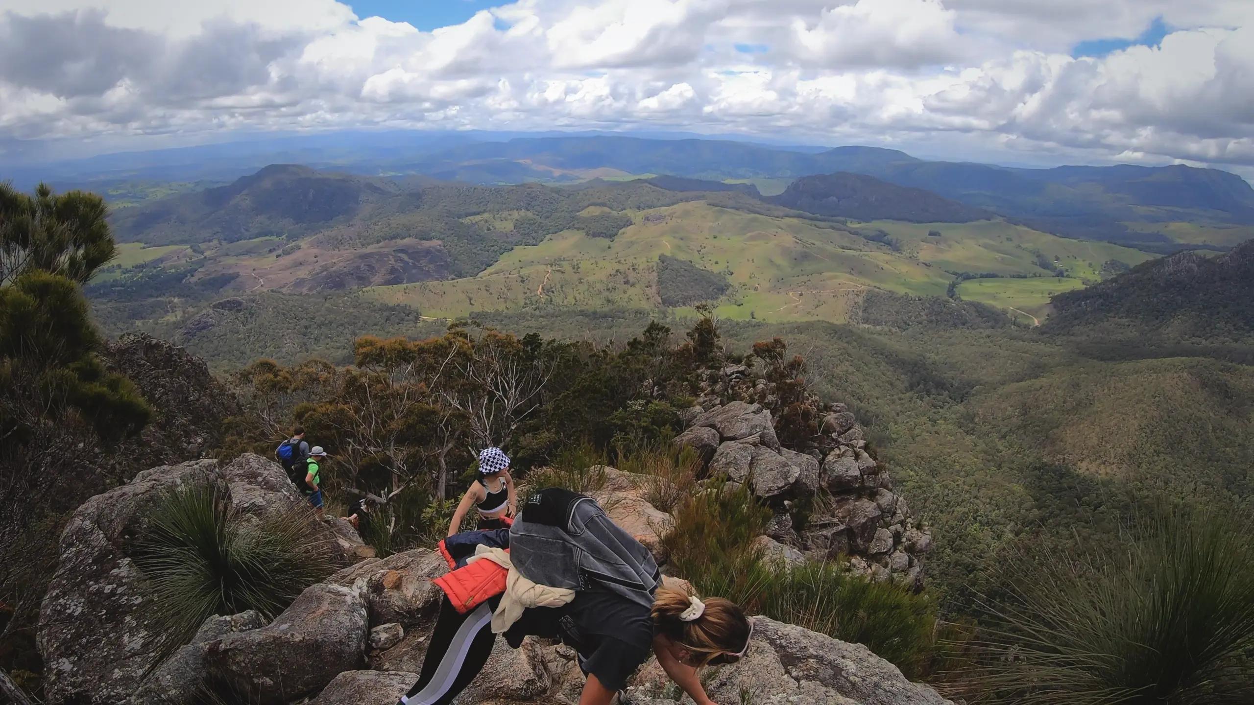
Summit
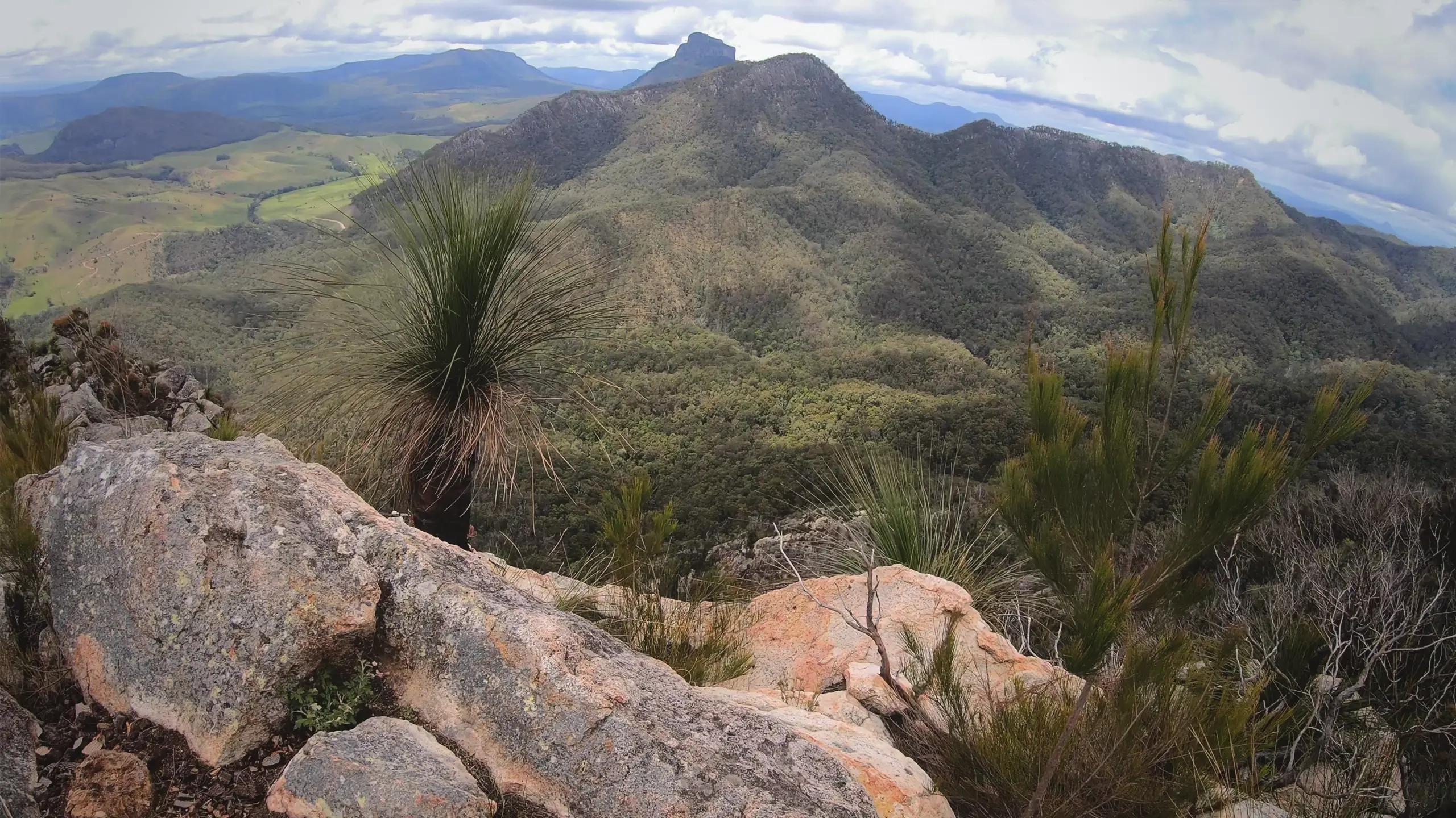
Reaching the summit offers incredible views of the Scenic Rim region and nearby peaks like Mount Maroon, Mount Ernest, and Mount Lindesay. The descent is equally challenging, and South Ridge is the recommended route for those less comfortable with heights and rock scrambling.
Descend
The descent is steep and rocky, and it's important to follow the orange trail markers carefully, especially in overgrown areas. South Ridge is a suitable option for the descent if you prefer to avoid steep, exposed rock scrambles.
🦘 Pro Tips:
Early Start:
Begin your hike at dawn to enjoy sunrise views, beat the heat and finish before it gets dark. Hydrate & Energise: Carry ample water and snacks to stay strong and focused all day.
Gallery